Riyadh Metro
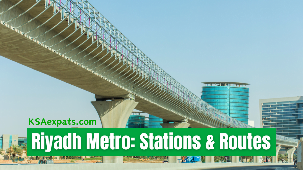
The Riyadh Metro is a cornerstone in the modernization of public transportation in Saudi Arabia’s bustling capital. It promises to revolutionize how residents and visitors traverse the city, offering a fast, efficient, and environmentally friendly mode of travel. Let’s dive into the details of its stations and routes, shedding light on this remarkable infrastructure project.
The Network at a Glance
The Riyadh Metro, with its 6 lines covering approximately 176 kilometers, is designed to cover the most densely populated areas, government districts, commercial centers, and links to other forms of public transport. It stands as one of the largest urban metro systems being developed worldwide.
See: Makkah Metro: Everything You Need to Know
Lines and Routes
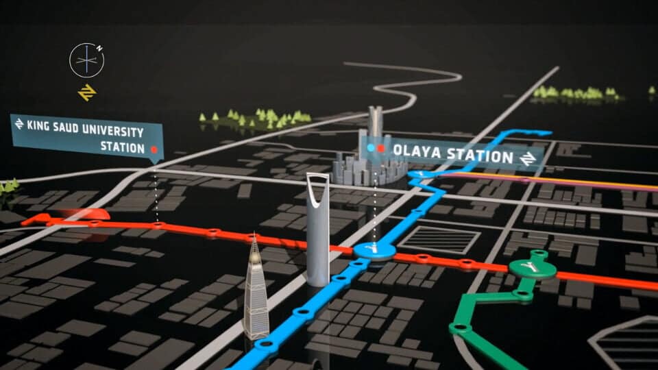
- Blue Line (Line 1): Olaya – Batha Running along King Abdullah Road, the Blue Line connects major city landmarks, including the King Saud University, King Khalid International Airport, and the Financial District. This line has 22 stations, serving as a vital artery in the city’s transportation network.
- Red Line (Line 2): King Abdullah Road This line runs from east to west along King Fahd Road, linking King Saud University with the Riyadh Military Hospital. The Red Line boasts 13 stations, including several underground stops, facilitating access to the city’s core areas.
- Green Line (Line 3): Madinah Al Munawarah – Rahman Al Awal Road The Green Line stretches from the northwest to the southeast, featuring 20 stations. It traverses key locales like the Riyadh International Convention and Exhibition Center and intersects with other lines, enhancing connectivity.
- Orange Line (Line 4), Yellow Line (Line 5), and Purple Line (Line 6) These lines, although smaller, are crucial for connecting residential areas to the central business districts, universities, and the airport. They feature a mix of elevated, ground-level, and underground stations, ensuring comprehensive coverage of the city.
Key Stations and Architectural Gems
Each station in the Riyadh Metro network is uniquely designed, with facilities that cater to the needs of all passengers, including those with disabilities. Notable stations include:
- Olaya Metro Station: Known as one of the main interchange stations, Olaya Metro Station is where Lines 1 and 2 intersect. Designed by the renowned Gerber Architekten firm, it boasts a stunning design inspired by public gardens that extend throughout the station area.
- King Abdullah Financial District (KAFD) Metro Station: This station serves the heart of Riyadh’s financial district. It’s characterized by its grand design, reminiscent of sand dunes, created by the celebrated Zaha Hadid Architects.
- Qasr Al-Hokm Metro Station: Located near the historic Masmak Fortress and the National Museum, this station seamlessly blends history with modernity. Its design gracefully pays homage to the surrounding area’s traditional Najdi architecture.
Ticketing and Services
The Riyadh Metro to use a convenient smart card system for ticketing. You can purchase and top up your card at metro stations. The metro also offers features such as:
- Wi-Fi connectivity
- Clear signage in both Arabic and English
- Dedicated areas for women and families
- Accessibility features for those with disabilities
The Riyadh Metro is more than just a transportation project; it’s a vision for a sustainable, connected future. It aims to reduce traffic congestion, improve air quality, and contribute to the economic growth of the city.
Also See: Makkah-Madinah Haramain Train Ticket Prices 2024
